
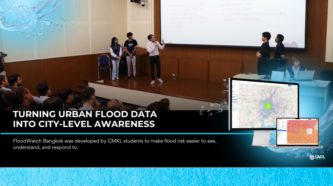
FloodWatch Bangkok: Mapping Street-Level Flood Risk with Open Data
Flooding is a recurring challenge in Bangkok, affecting mobility, safety, business operations, and daily life. Flood risk is shaped by many factors at once: rainfall, terrain, drainage systems, canal proximity, road conditions, and local reports from people on the ground.
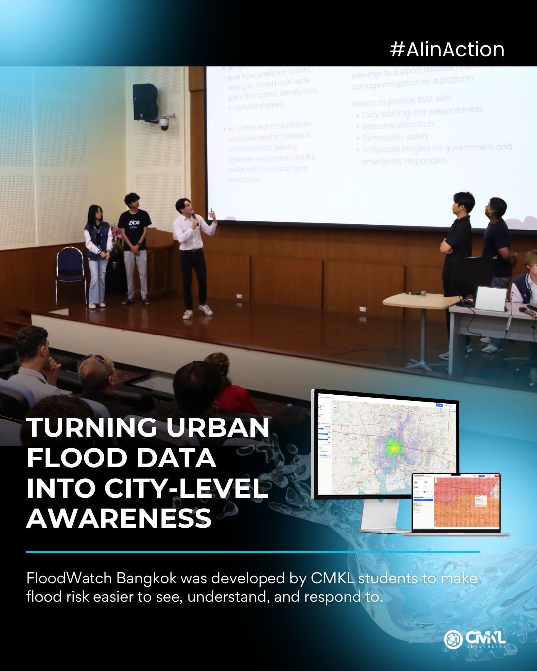
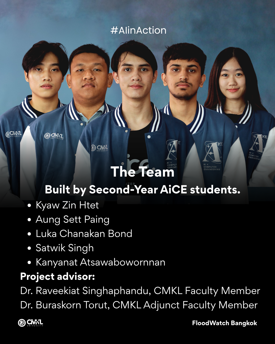
FloodWatch Bangkok was developed by AiCE sophomore students Kyaw Zin Htet, Aung Sett Paing, Luka Chanakan Bond, Satwik Singh, and Kanyanat Atsawabowornnan, under the guidance of Dr. Raveekiat Singhaphandu and Dr. Buraskorn Torut. The project uses open data and visualization to help identify and communicate flood risk across Bangkok.
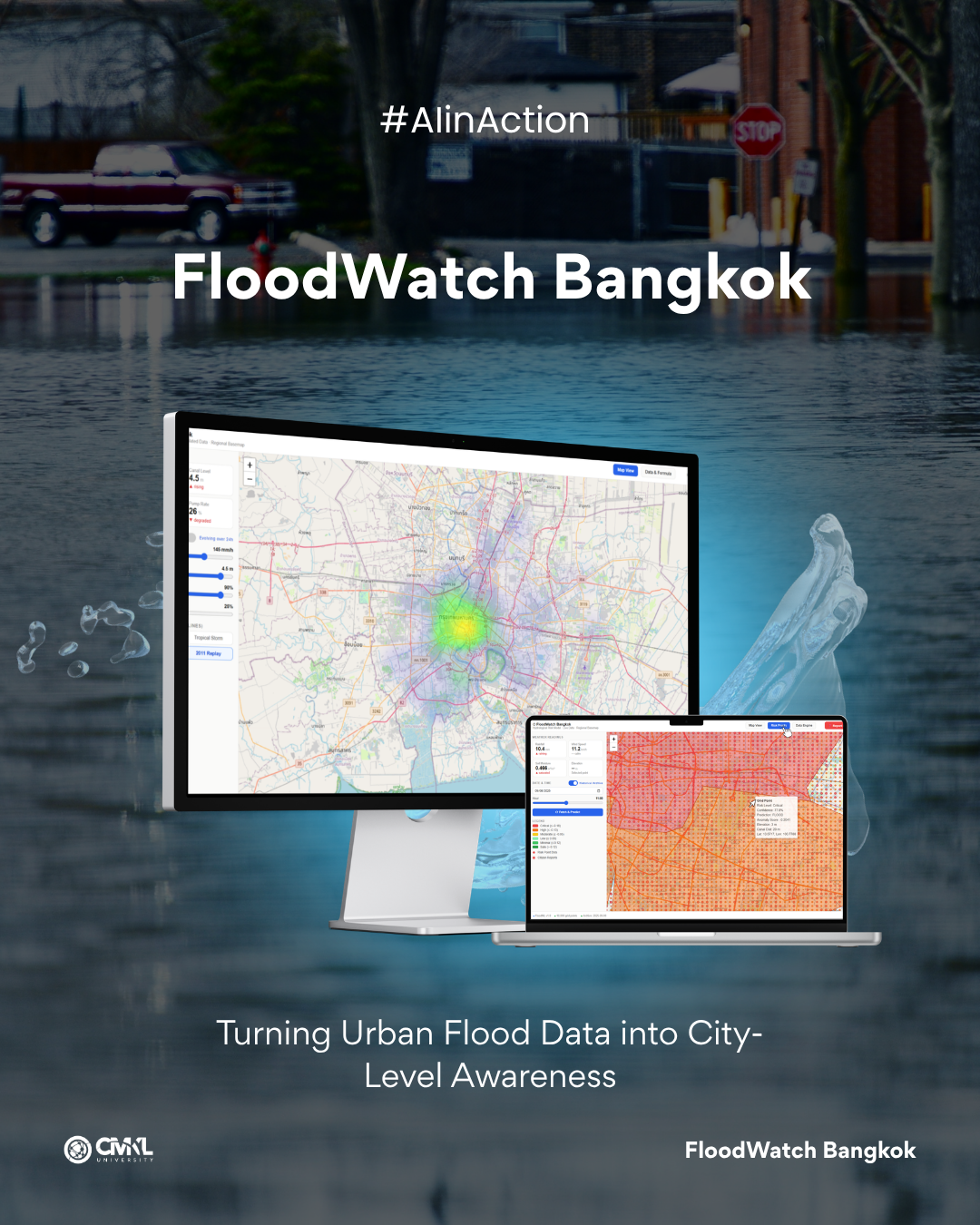
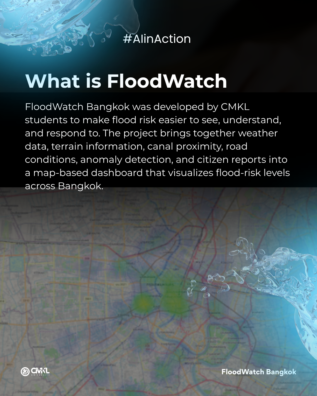
The team built a map-based dashboard that displays flood-risk levels in different areas of the city. The platform integrates weather data, terrain features, canal proximity, road information, anomaly detection, and citizen reports. It also includes administrative functions for managing and reviewing information.
From a technical perspective, the project combines geospatial data processing, open-data pipelines, anomaly detection, and dashboard design. The system aims to turn scattered data sources into a more usable view of urban flood risk.
A major value of the project is localization. Flooding is often experienced at street level, where small changes in drainage, elevation, or rainfall intensity can affect whether an area becomes difficult to travel through. A map-based interface allows users and administrators to see risk spatially rather than only through general weather warnings.
FloodWatch Bangkok also highlights the role of citizen reporting. Local observations can help complement official data sources, especially during fast-changing weather events. By combining structured datasets with reports from the ground, the system moves toward a more responsive model of urban monitoring.
The project reflects CMKL students’ ability to apply AI and data systems to smart-city challenges. It also shows how student research can connect to public-sector needs, especially in areas such as urban resilience, disaster preparedness, and data-driven decision support.
Project Members: Kyaw Zin Htet, Aung Sett Paing, Luka Chanakan Bond, Satwik Singh, Kanyanat Atsawabowornnan
Advisors: Raveekiat Singhaphandu, Buraskorn Torut
Domain: Smart City, Flood Risk, Geospatial Data, Open Data, Urban Resilience


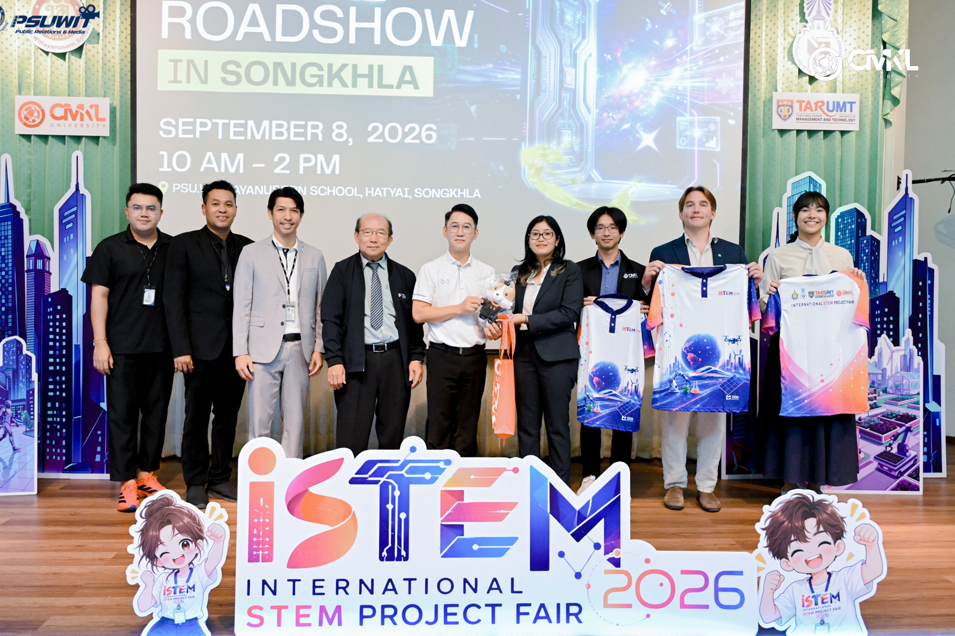
CMKL University recently brought its AI Roadshow to PSU Wittayanusorn School in Songkhla, offering high school students a day of immersive AI workshops led by world-class faculty and research team members. The event aimed to equip the next generation of tech leaders with practical skills and career insights.
Read more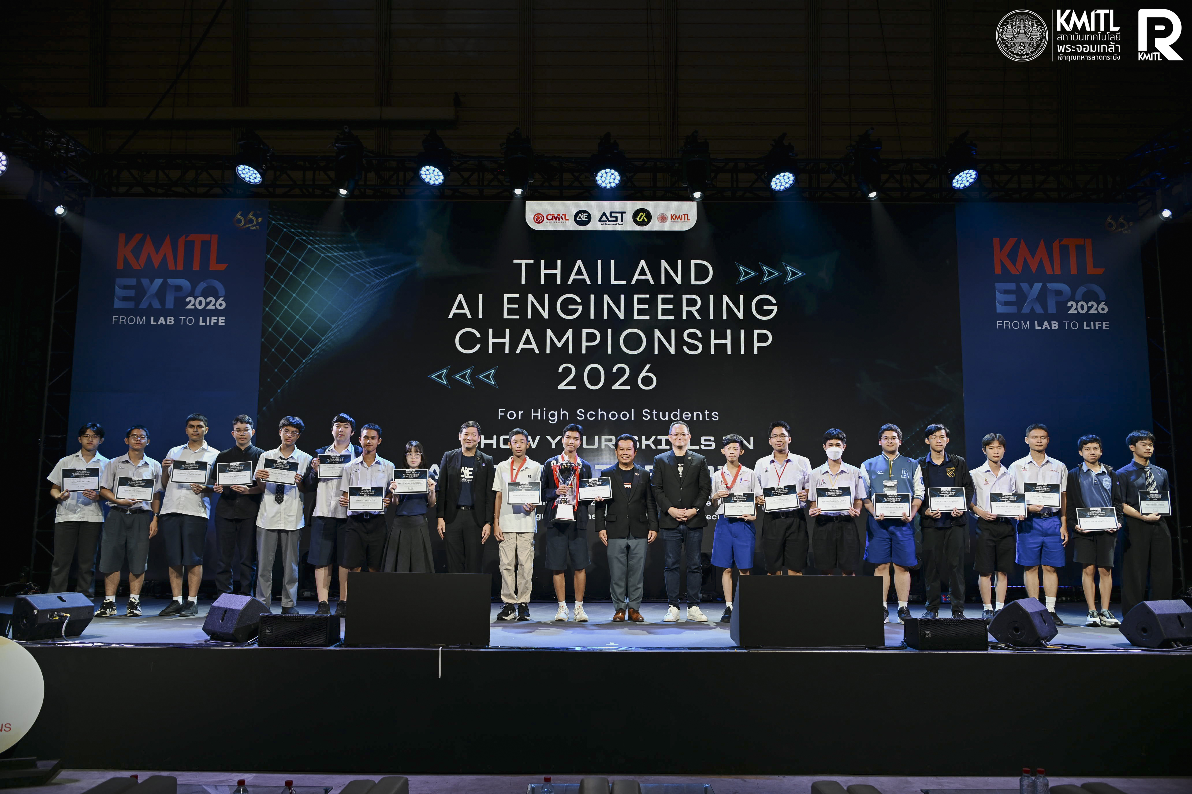
Thailand AI Engineering Championship (TAIEC) 2026, hosted by CMKL University and the AI Engineering Institute, brought together high school students from across Thailand to test their skills in AI, programming, problem-solving, and system design through a national-level competition.
Read more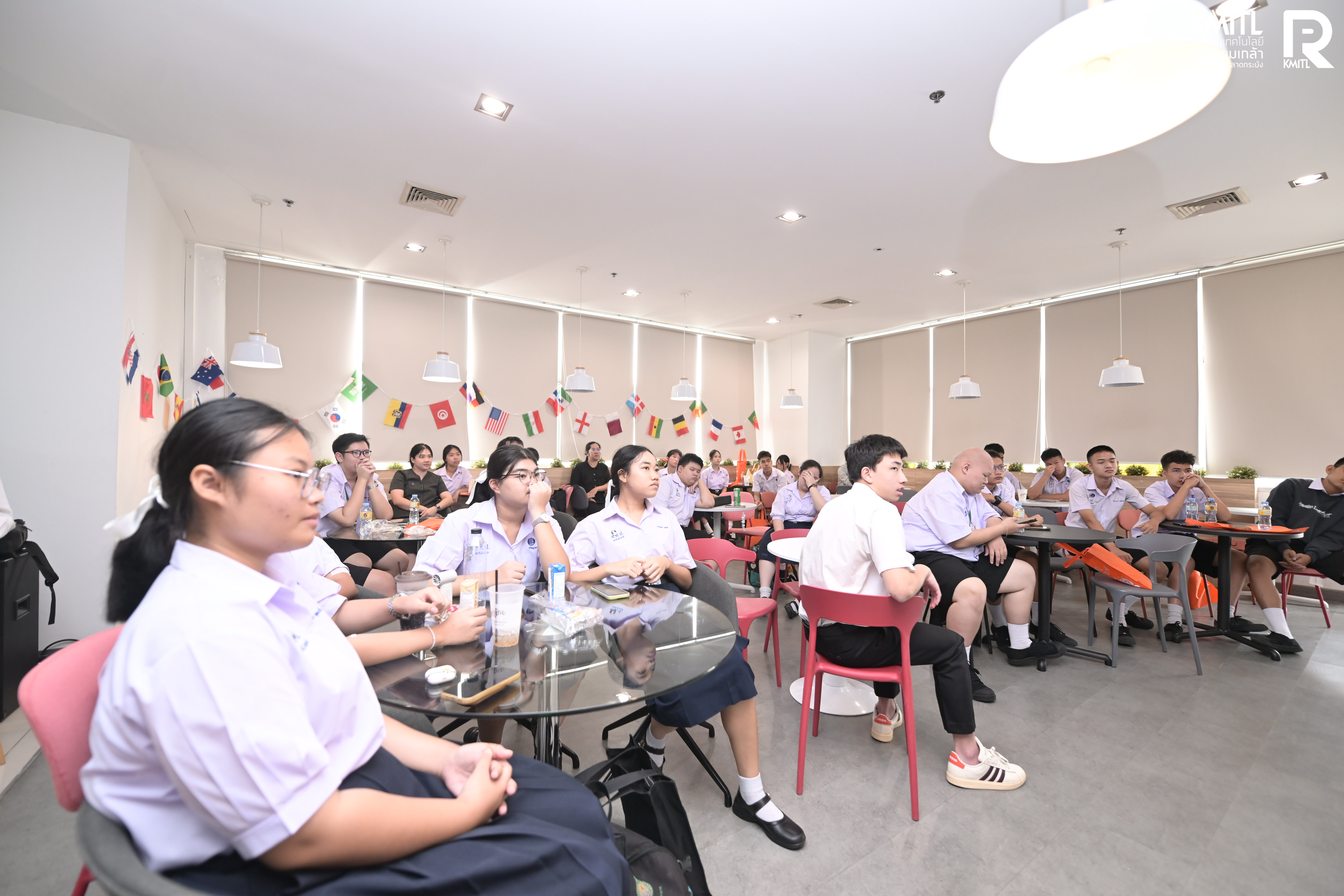
CMKL Open Days 2026 welcomed students, parents, and visitors to campus for a closer look at the university, its academic programs, student experience, and approach to AI education.
Read more